US Maps:
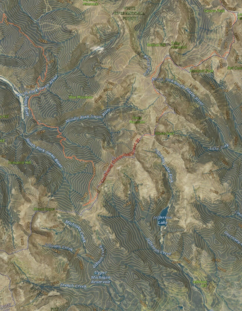
Natural Atlas:
Natural Atlas is the ultimate US outdoor map. Natural Atlas combines data from the US Forest Service, National Parks, State Parks, and local land management agencies to create this amazing map.
External data is heavily reviewed in order to correct errors, improve accuracy, fill in gaps, remove duplicates, and to get it to stylistically match everything else on the map. Public data is not available in much of the country, and in these areas, Natural Atlas created the data.
Natural Atlas has:
215,000 miles of trails
13,000 boat ramps
12,000 trailheads
6,000 public campgrounds
4,900 campsites
1,300 dispersed camping areas
4,200 fishing access sites
4,000 picnic areas
US Forest Service:
The US Forest Service maps are often the most updated backcountry map. While these maps are awesome in the National Forests, they do not cover all of the US and they do not cover areas like National Parks.
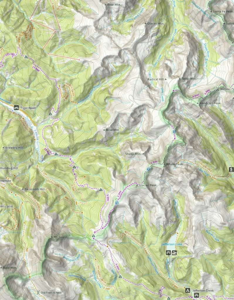
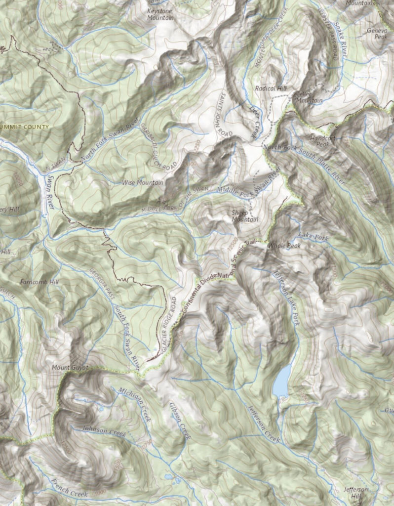
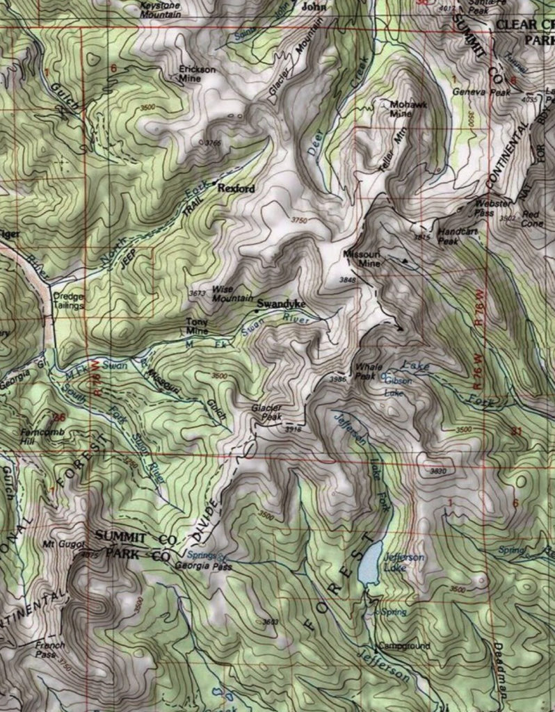
USGS Maps:
US National Map:
As one of the cornerstones of the U.S. Geological Survey’s (USGS) National Geospatial Program, the National Map is a collaborative effort among the USGS and other Federal, State, and local partners to improve and deliver topographic information for the Nation. It has many uses ranging from recreation to scientific analysis to emergency response.
USGS Imagery Topo:
USGS Imagery Only:
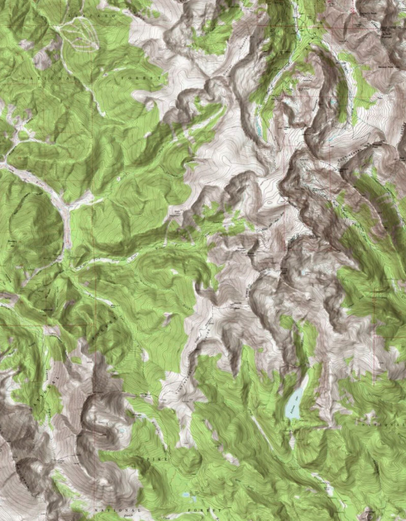
USGS Topo Map (ESRI):
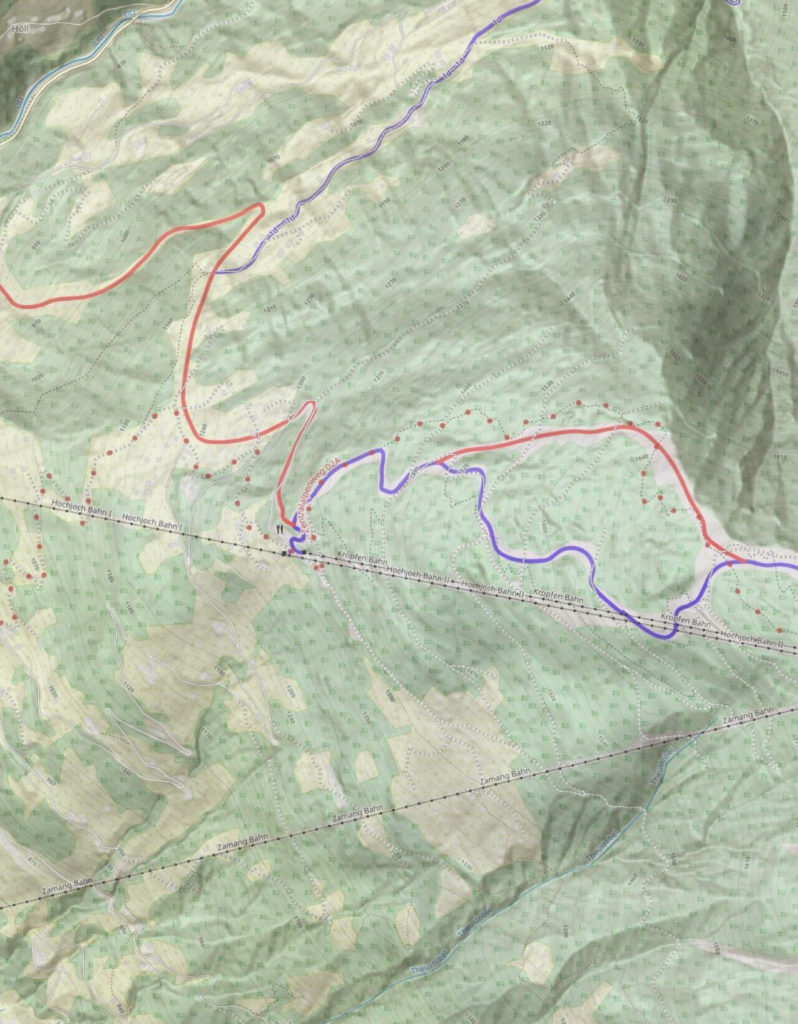
The USGS topographic maps are the tried and true backpacking maps. They have the most detail for off the grid locations and include rivers, lakes, trails, timberlines, and many more backcountry features. Most of these maps were made between 1940 and 1960, so they are not the best for urban areas where there has been new developments over the last 50 years.
Topo Maps+ has two different USGS maps sources and you can view the maps either with or without shading. You can use the USGS Topo Maps from either ESRI or Glacier Peak Studios. In general the maps from ESRI have higher resolution.
- Same extents as the popular 7.5-minute, 1:24,000-scale* quadrangle maps released 1947 – 2006 *scale varies in Alaska & Puerto Rico
- Standardized layout of map collar and traditional reference system (latitude/longitude & U.S. National Grid)
- Portrays both natural and human-made features within the themes of elevation, hydrography, place names, transportation, boundaries, structures, & land cover
USGS Topo Map (Glacier Peak Studios):
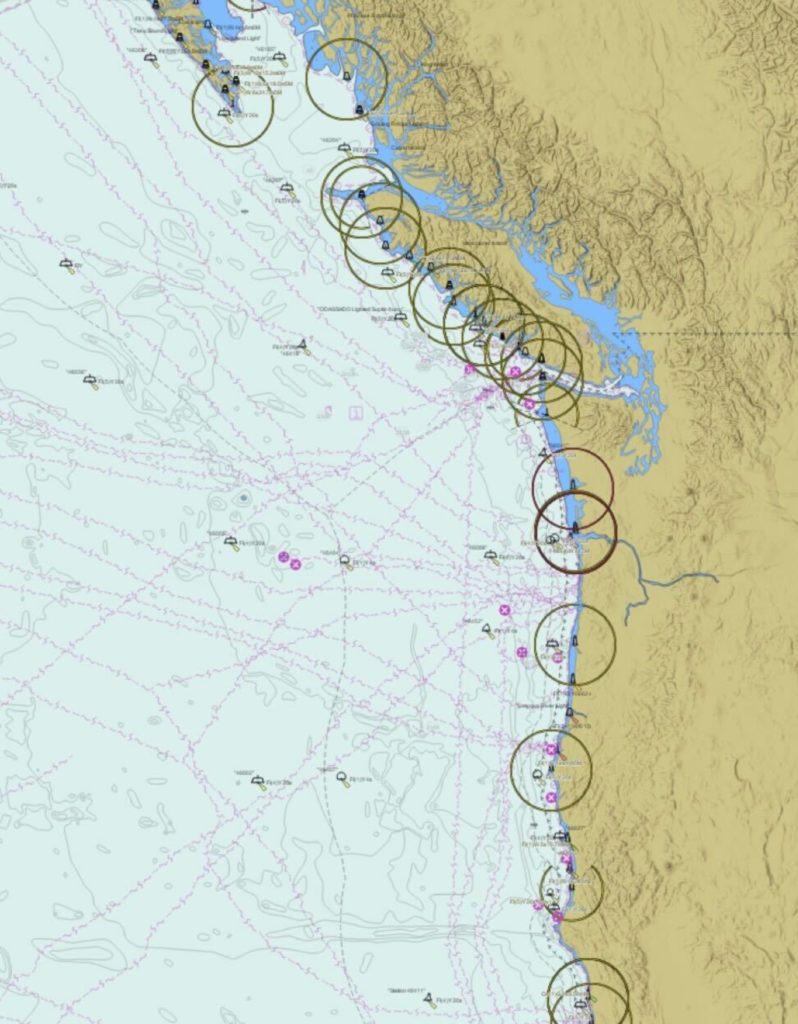
US NOAA Marine Charts:
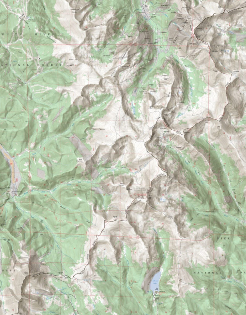
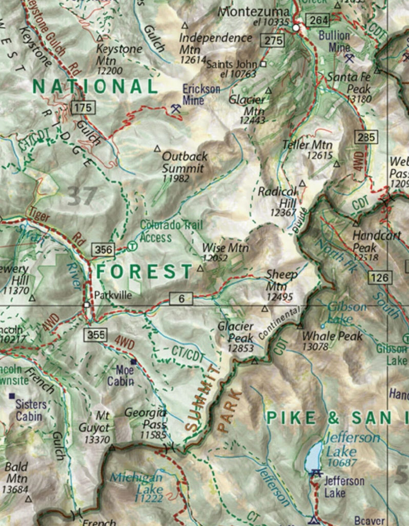
Benchmark Maps:
Since 1995, Benchmark Map field checkers, cartographers, and editors have been mapping the American West. Benchmark Maps precise and easy-to-use atlases are essential tools for planning and navigating your most memorable road trips and adventures.
Canada Maps:
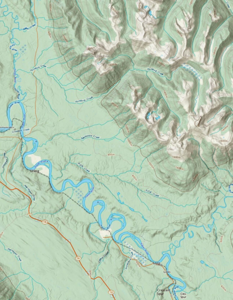
NRCan Canada Topo (Toporama):
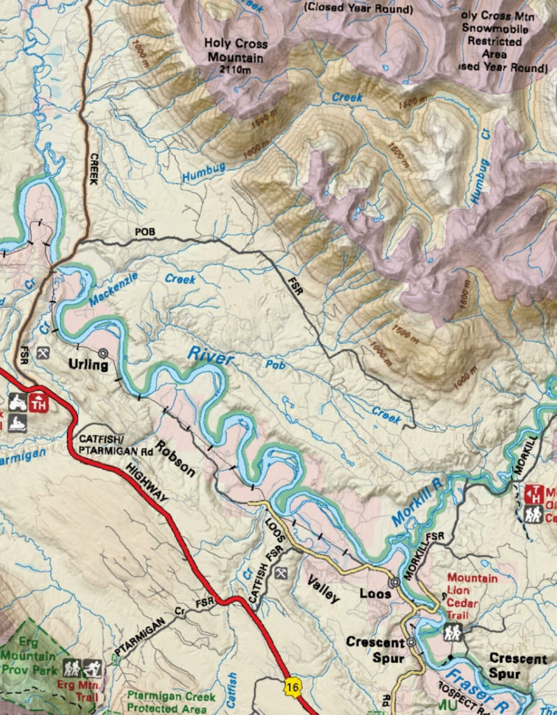
Backroad Mapbooks:
Backroad MacBooks feature Canada’s most detailed topographic maps and outdoor recreation information, plus industry-leading road and trail coverage. Trusted by Canadian outdoors people for over 25 years, these maps are the ultimate adventure guide.
Worldwide:
Thunderforest Outdoor Map:
Thunderforest Topo Map is a worldwide Topo map that has hiking, biking, and ski trails. The data for Thunderforest comes from the Open Street Map and is continually being updated.
ESRI Maps:
ESRI Topo Map:
The ESRI Topo Map is another great option for worldwide Topo maps and for urban areas in the US. It has hiking and biking trails.

ESRI Street Map:
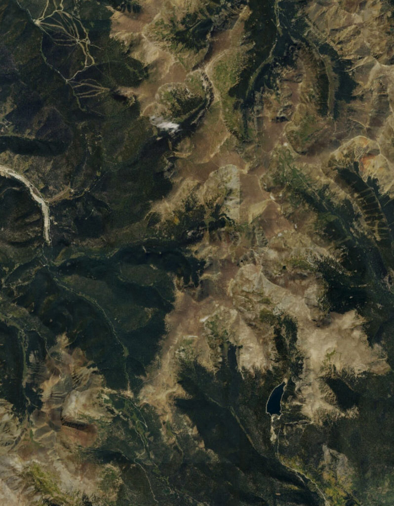
ESRI Satellite Map:
While researching your next adventure it is often helpful to look at satellite imagery. The satellite map from ESRI lets you view your routes and waypoints on a satellite map.

Open Cycle Map:
The OpenCycleMap global cycling map is based on data from the OpenStreetMap project. At low zoom levels it is intended for overviews of national cycling networks; at higher zoom levels it should help with planning which streets to cycle on, where you can park your bike and so on.
The map is updated every few days with the latest data from OpenStreetMap.
AccuTerra Maps (Worldwide):
AccuTerra was built by a team of avid outdoorsmen, hikers, cyclists, backpackers, and lovers of the great outdoors. Their maps are created with a unique collection of multi-use, equestrian, foot traffic, OHV and snowmobile trails, combined with open mapping solutions.
AccuTerra Topo (One using feet UOM, one using meters):
AccuTerra Outdoors (One using feet UOM, one using meters):
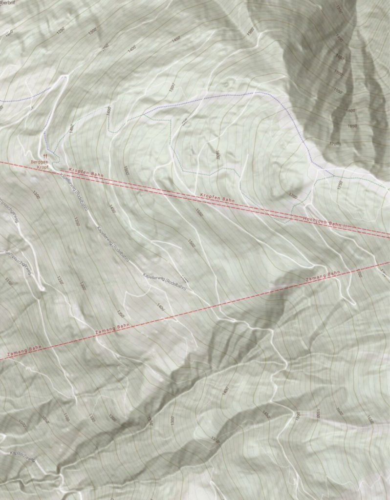
AccuTerra Terrain:
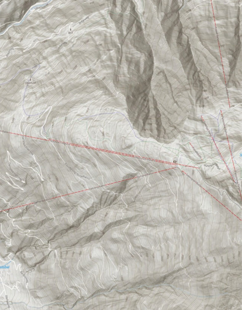
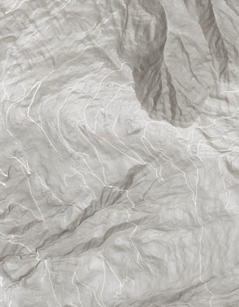
AccuTerra Light Gray:
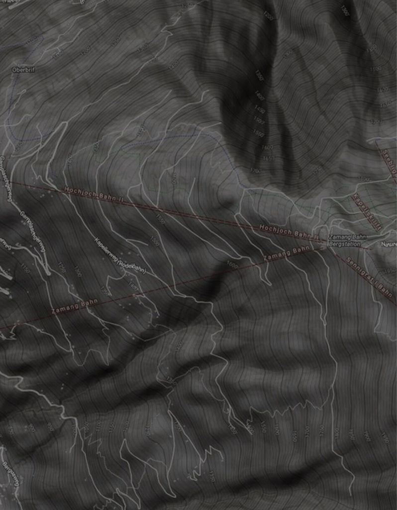
AccuTerra Dark Grey:
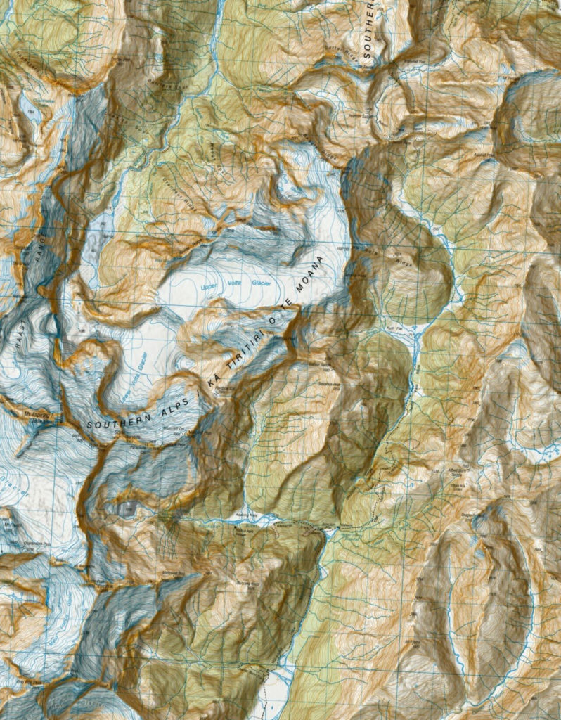
New Zealand:
LINZ Topo Map:
The LINZ Topo50 map is the ultimate map for exploring New Zealand. The Topo50 map series provides topographic mapping for New Zealand mainland and Chatham Islands at 1:50,000 scale.