Basically, you can think of maps and overlays like this:
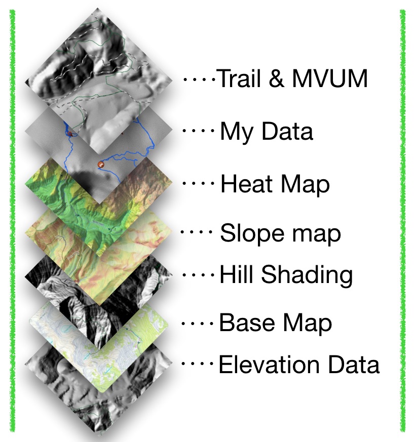
Each layer provides either data or graphical images. Too many and the app slows down, too few and maybe we aren’t showing the information we want to see…but, how do we know which ones to turn on for our use when Topo Maps+ has over 600 maps and overlay options?
Some Maps:
- are great for hiking, others are really good for ATVing, and others for hunting.
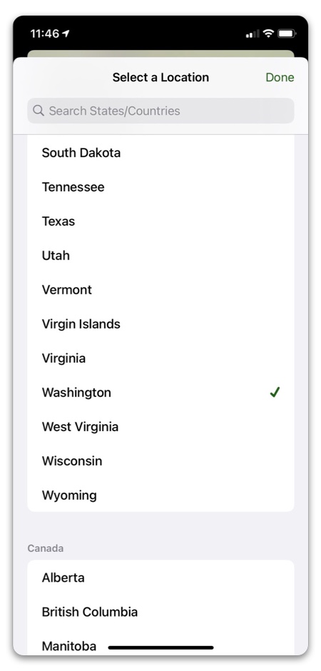
- are region specific and only work in the US, Canada, or they could be worldwide
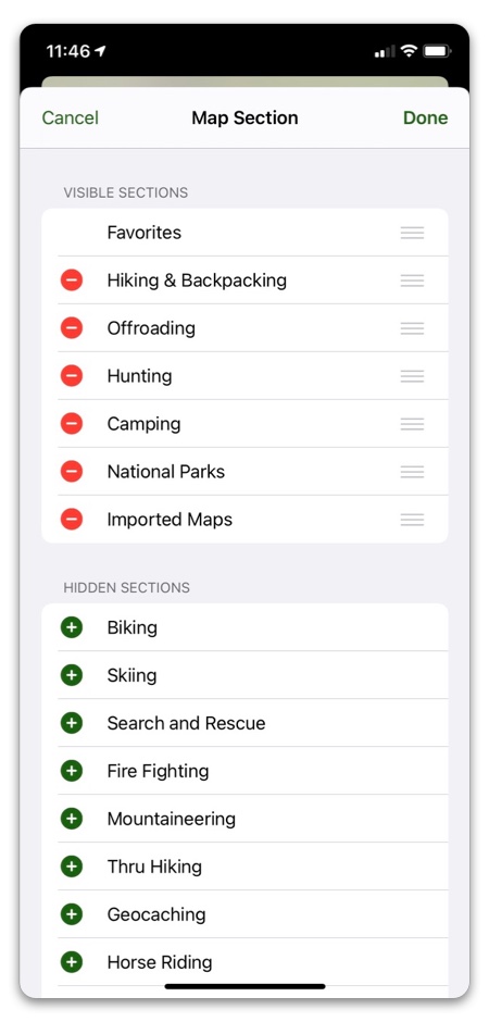
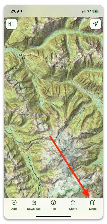
To get started, Topo Maps+ sets up your map options based on the activities you selected when downloading the app. Tap on the bottom right folded map icon and you can select your maps based on the activity you are planning.
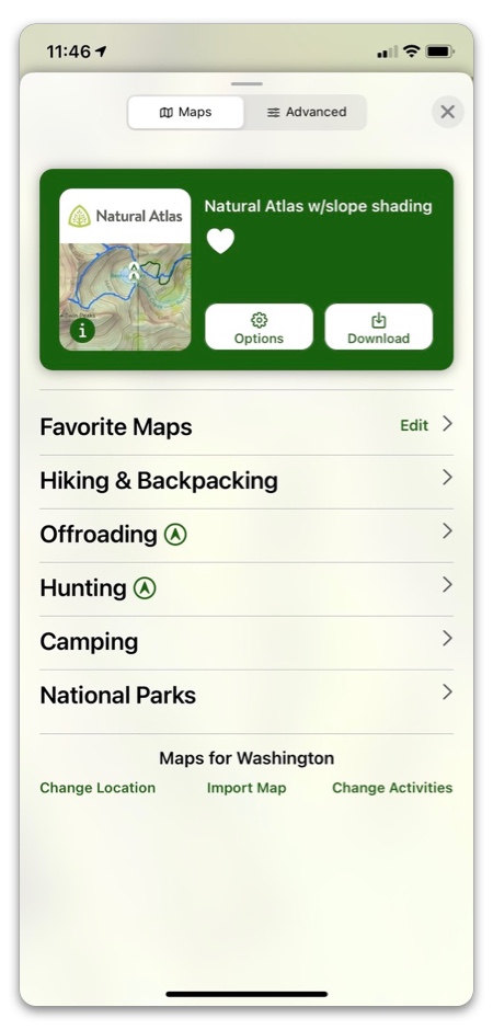
You can change your activity by scrolling down and tapping the Change Activities button or the Location button.
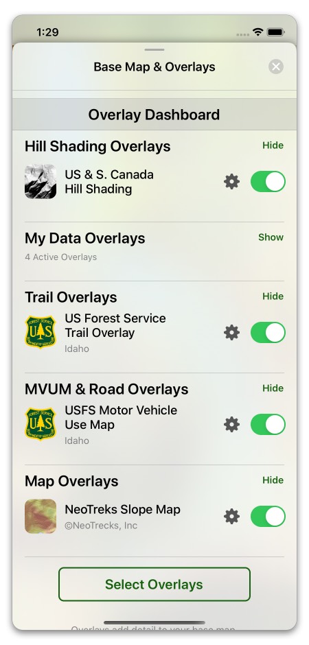
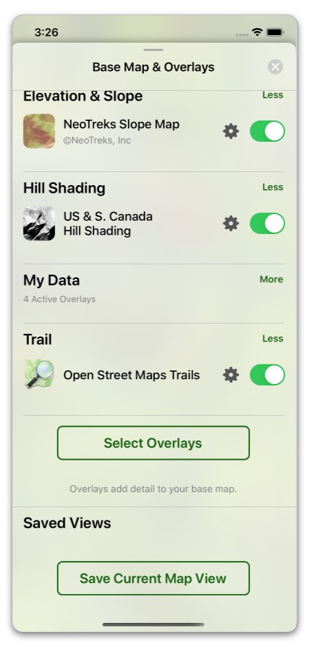
Or, perhaps you want to set up your own style:
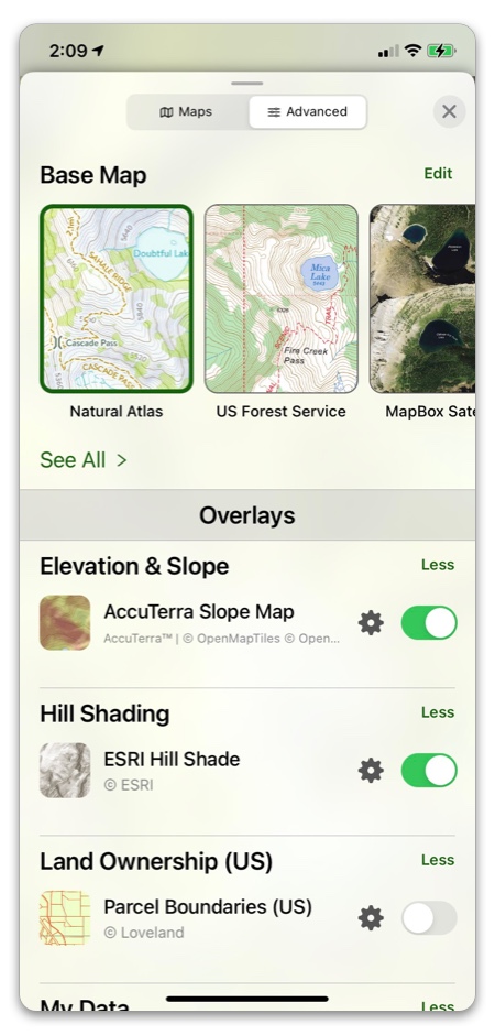
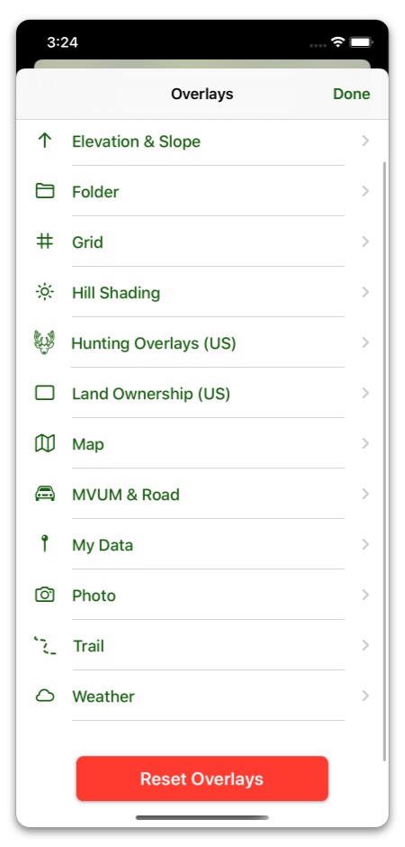
Want to add more detail to your maps like trails, slope overlays, or hill shading? Tap on the “Select Overlays” to begin.