
We have a lot of maps in Topo Maps+.
Each map has its own strengths and weaknesses, used for different activities as well as different stages of a hike: planning routes, double-checking trails, getting to the trailhead, and what you actually use in the backcountry.
There isn’t a single perfect map for anything which is why it is important to have different maps to compare or to use for different things.
Some maps don’t have all of the critical outdoor features (i.e. glaciers or creeks), some are missing trails, some are out of date, and other maps don’t cover all of the areas that we like to hike.
Out of our about 30 maps here are the most commonly used ones:
Natural Atlas:
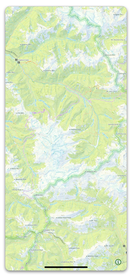
This is my go-to map that I always start with and is often the only map I use during my hike.
The Natural Atlas has all the details of a USGS map, the latest trail info from the Forest Service, national and state parks, and of course, the backcountry features like timberline, creeks, trails, and glaciers.
It is really easy to read at all zoom levels. It has great detail as you zoom in. It really looks great! Not only that, but it is constantly being updated!
- They have the best points of interest, labels, and notes on it
- They are hand curated by a cartographer and the information is double-checked for accuracy
- They look amazing
- You can trust these maps
US Forest Service
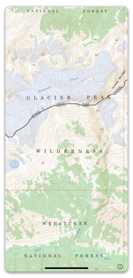
The US Forest Service maps are great! They are great maps for trip planning and to use while you are on the trail. They have backcountry features like timberline, glaciers, seasonal creeks, etc. The one problem with the US Forest Service map is that they do not cover the entire US — most notably they don’t cover US National Parks.
They come directly from the US Forest Service. Good backcountry features. It’s easy to read when you are zoomed in far enough.
Benchmark Maps
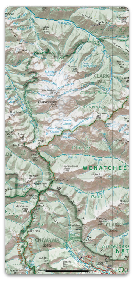
While offline trail navigation is an absolute must when you are hiking, it doesn’t do you any good if you can’t get to the trailhead. I use this map to make sure I know how to get to the trailhead.
- Shows prominent backcountry roads.
- Easy to use when more zoomed out, which makes figuring out how to get to the trail head easier.
- Shows outdoor points of interest like campgrounds.