
Looking to map out an awesome backcountry adventure? Topo Maps+ has the maps you need to plan a safe trip.
Our Preset Maps come based on whatever you like to do (Backpacking, Hunting, Skiing, Search and Rescue, etc.). These preferences are set up when first opening the app and can always be changed.
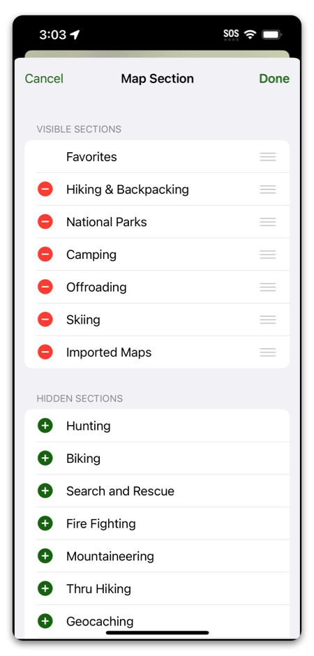
Each activity has its own set of preset maps (map with a few overlays we select for that activity). Here are just a few:
Not a backpacker? We have maps for all sorts of activities:
- Hiking & Backpacking
- National Parks
- Camping
- Hunting
- Offroading
- Skiing
- Government Use
- Biking
- Search and Rescue
- Fire Fighting
- Mountaineering
- Thru Hiking
- Geocaching
- Horse Riding
- Fishing
- Logging
- Photography
- Forestry
- RVing
- Trail Running
- Real Estate
- Snowboarding
- Cross Country Skiing
- Running
- Walking
If you have a different map in mind that we don’t offer, you can import any GPX or TIFF file right into the app.
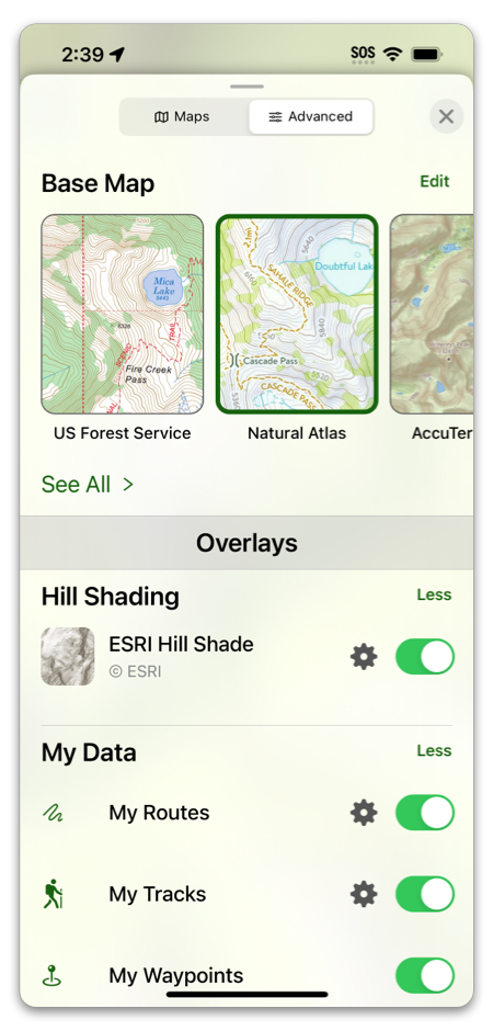
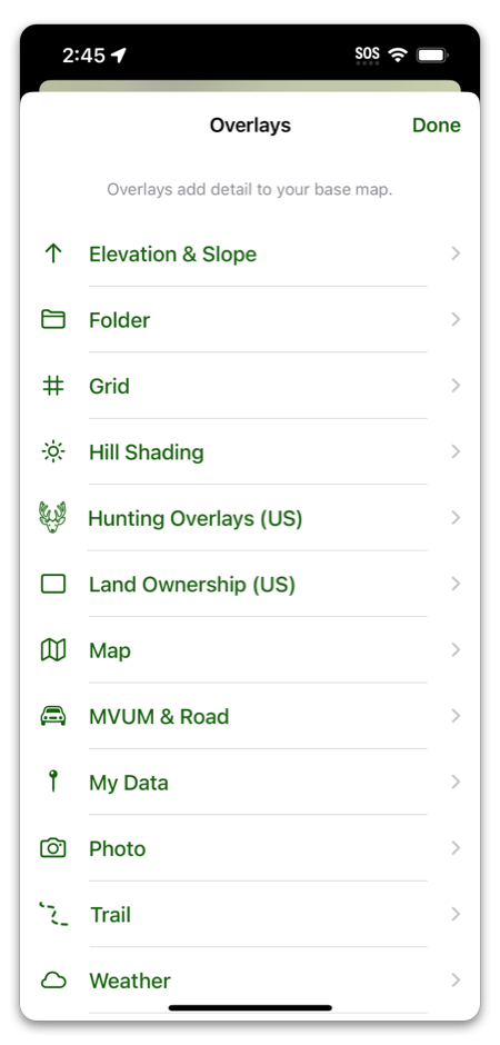
Like to do everything yourself so you can get your map just the way you like it? The Advanced Dashboard is just for you!
You can select a base map and as many overlays as you want:
For a complete list of maps we offer, click here.
To get started with Topo Maps+, click here!